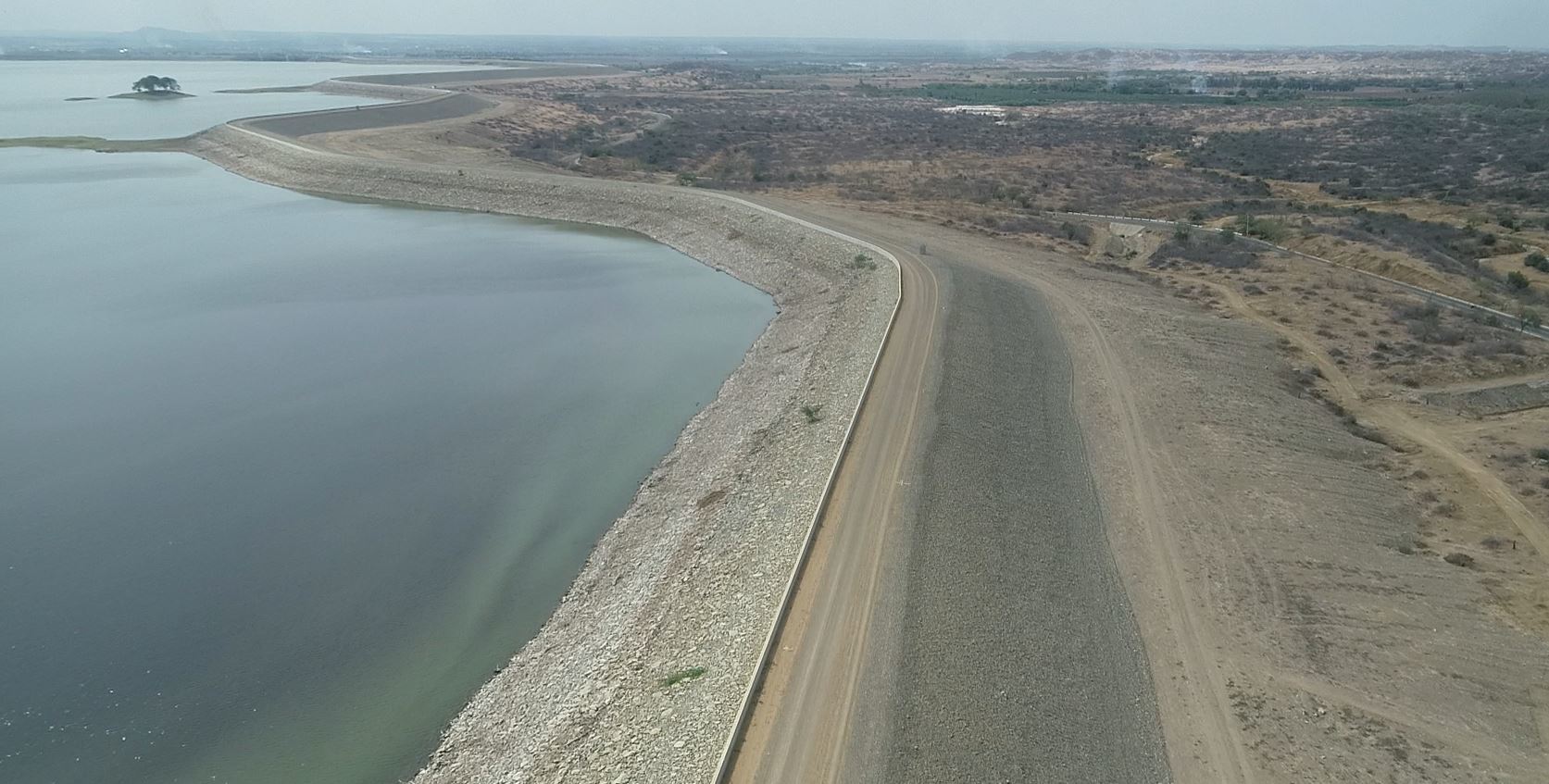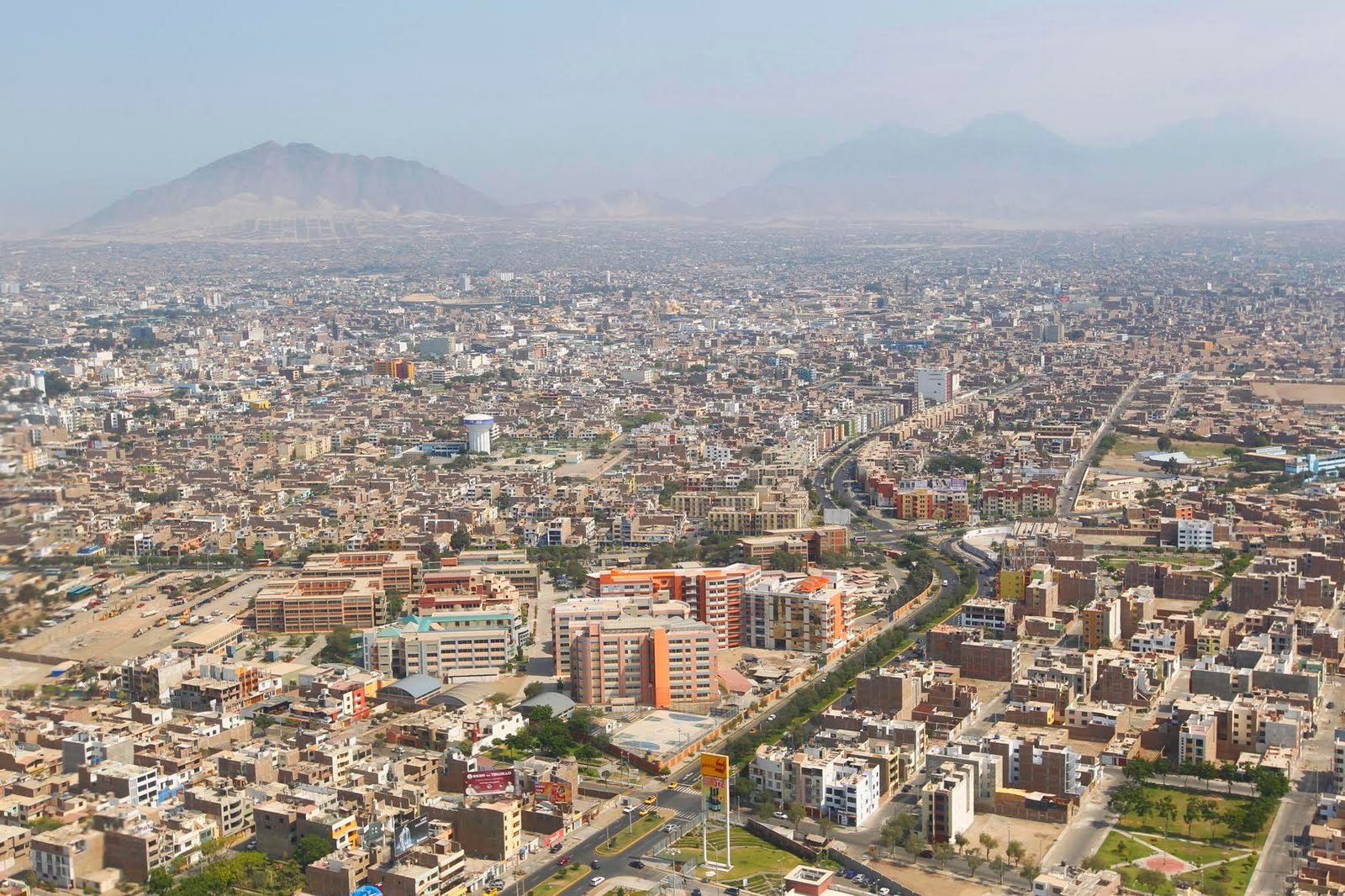
+ 11,000 hectares of a complex urban fabric and converging streams with a low coverage of rainwater services are the starting point for an integrated project.
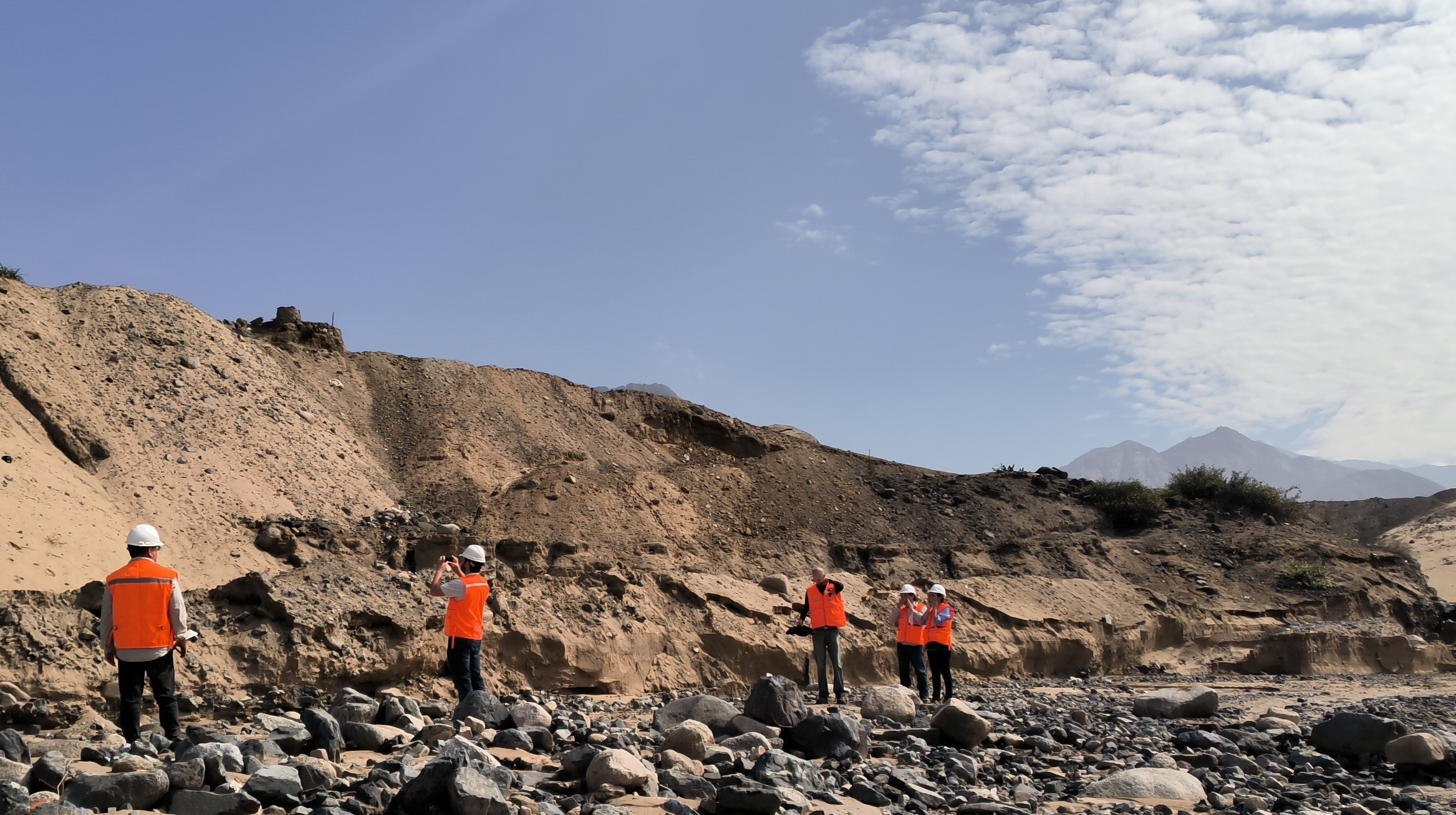
Geotechnical team surveying the streams adjacent to the city to identify sites for the placement of sediment retention dams.
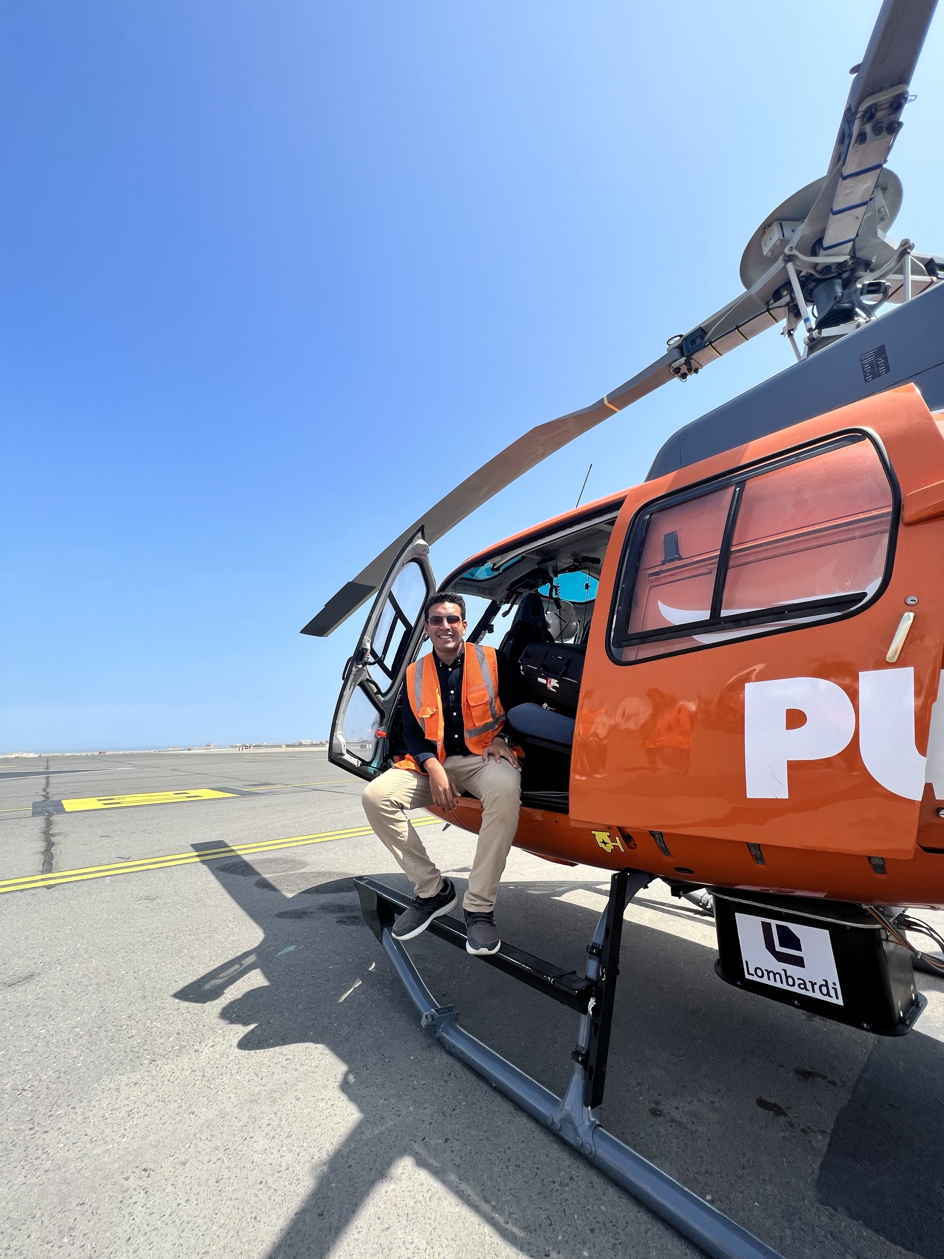
Helicopter equipped with LiDAR technology to survey 11 thousand hectares. The work required 6 days of flight, the marking of 10 thousand blades and more than 80 collaborators for the post-processing.
Helicopter equipped with LiDAR technology to survey 11 thousand hectares. The work required 6 days of flight, the marking of 10 thousand blades and more than 80 collaborators for post-processing.
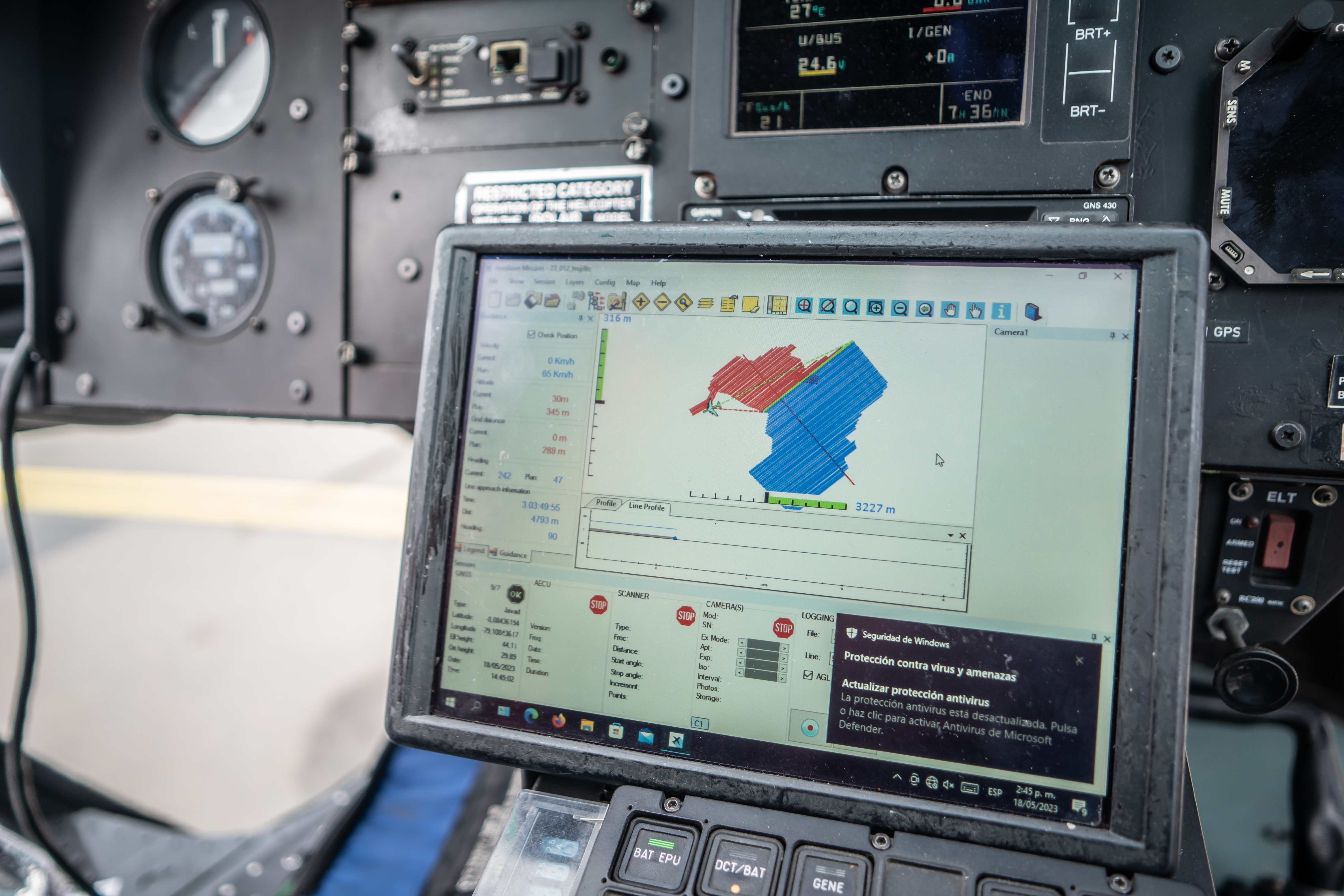
LiDAR navigation equipment for monitoring and control of the survey flights carried out in April 2023.
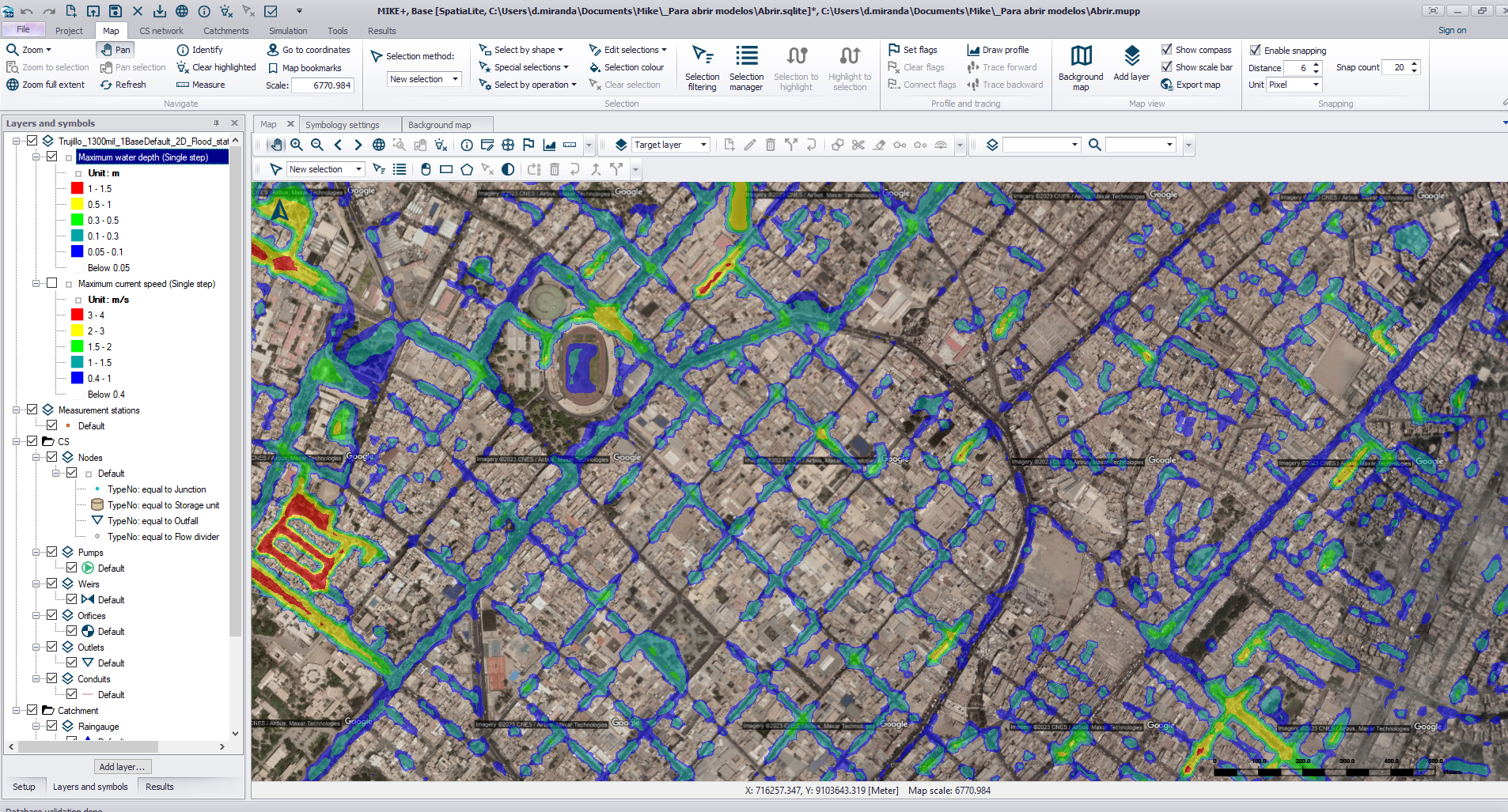
Image of 2D-1D modeling work in MIKE+ (by DHI) and 1D-1D modeling work in SWMM (by EPA)